Spatial & AR
Digital Twin - MapMyIndia
An interactive map in Unity: move between geographic coordinates with tiled terrain, location initialization, and smooth zoom transitions.
Play demo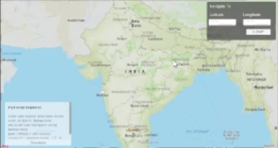 Actual project footage
About the project
A C# navigation coroutine zooms out, moves between geographic coordinates, and restores the destination zoom. The viewer includes map-layer tooling, location initialization, and navigation controls. The original demo uses the MapMyIndia title; the public repository uses Mapbox. It is a geographic viewer, rather than a live synchronized physical twin.
What I built
- Initialized a Unity map from a location provider and implemented mouse-look, movement, and zoom controls.
- Built a navigation coroutine that zooms out, interpolates between coordinates, then restores zoom so distant map transitions retain spatial context.
- The recorded demo and original project title use MapMyIndia terminology; the public repository uses the Mapbox SDK. This is an interactive geographic viewer, rather than a synchronized live physical twin.
- The original project notes also describe map-layer inspector tooling for marker and model management, alongside zoom and rotation controls.